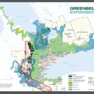
This map is a work in progress. This map seeks to outline the territory of the Mohawk Nation and Six Nations as set out in the Haldimand Proclamation of 1784 and the recent struggles to fight off developers planning to profit on stolen land. The map divides the Haldimand Tracts into smaller tracts based upon the history of land theft orchestrated by the colonial state.
The accompanying text outlines the specific claims to that specific tract – contrary to claims of the state. This history and the geographical boundaries are based upon the research of Phil Monture. The geographical lines on this map are not 100% accurate and are made as general representations.
The markers indicate various specific land defense hotspots (most of which necessitated direct action).
- Red markers indicate sites of struggles currently unfolding.
- Blue markers indicate sites of struggle that are slightly less active – although very much still sites of struggle.


